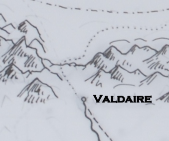
I’ve mostly-inked the “strip” of territory that’s in Oath of Fealty. For those familiar with the Paks books, that includes the part of Aarenis from Andressat north–east boundary roughly Cortes Cilwan, west to the Westmounts…then north over the pass at Valdaire to include Tsaia from just west of Vérella east to include Lyonya to just east of Chaya. Because Tsaia extends north of the Honnorgat River and Lyonya doesn’t, this means part of Pargun is also showing.
Limiting the map in this book to this territory means it’s a pretty good scale; trying to reduce the whole thing (which will take me days more to ink anyway) from 30×20 to the size of even two book pages will mean it’s *tiny* looking–there won’t be room to label much but the kingdoms.
So…can you live with seeing only part of the whole thing? My editor will make the final decisions, or Production will, but I’d appreciate your opinion.
Meanwhile, here’s a detail–pencil lines still showing, and font very much tentative at this point.

That’s because, with the map work ongoing, I don’t have a snippet for you.